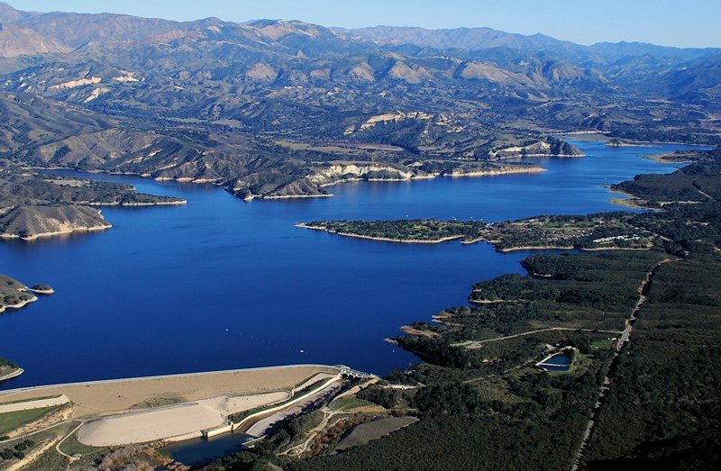
A Newcomer's Guide to Santa Barbara
The bus, the council, the water bill and everything else that makes a city work when you are new in town.
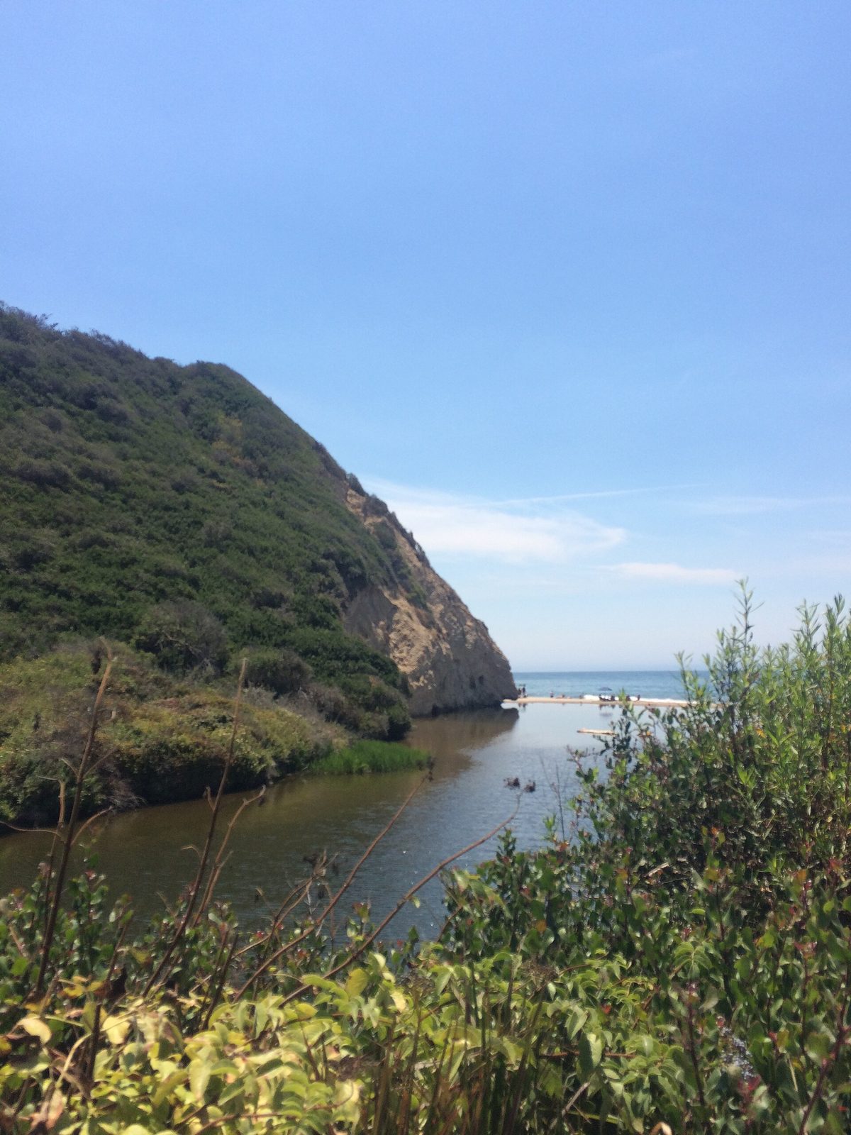
SANTA BARBARA: Santa Barbara is a city of 88,665 people, counted in the 2020 census, wedged between the Santa Ynez Mountains and the Pacific Ocean. The geography shapes everything about daily life here: the freeway runs along the coast, the neighborhoods stack up the foothills.
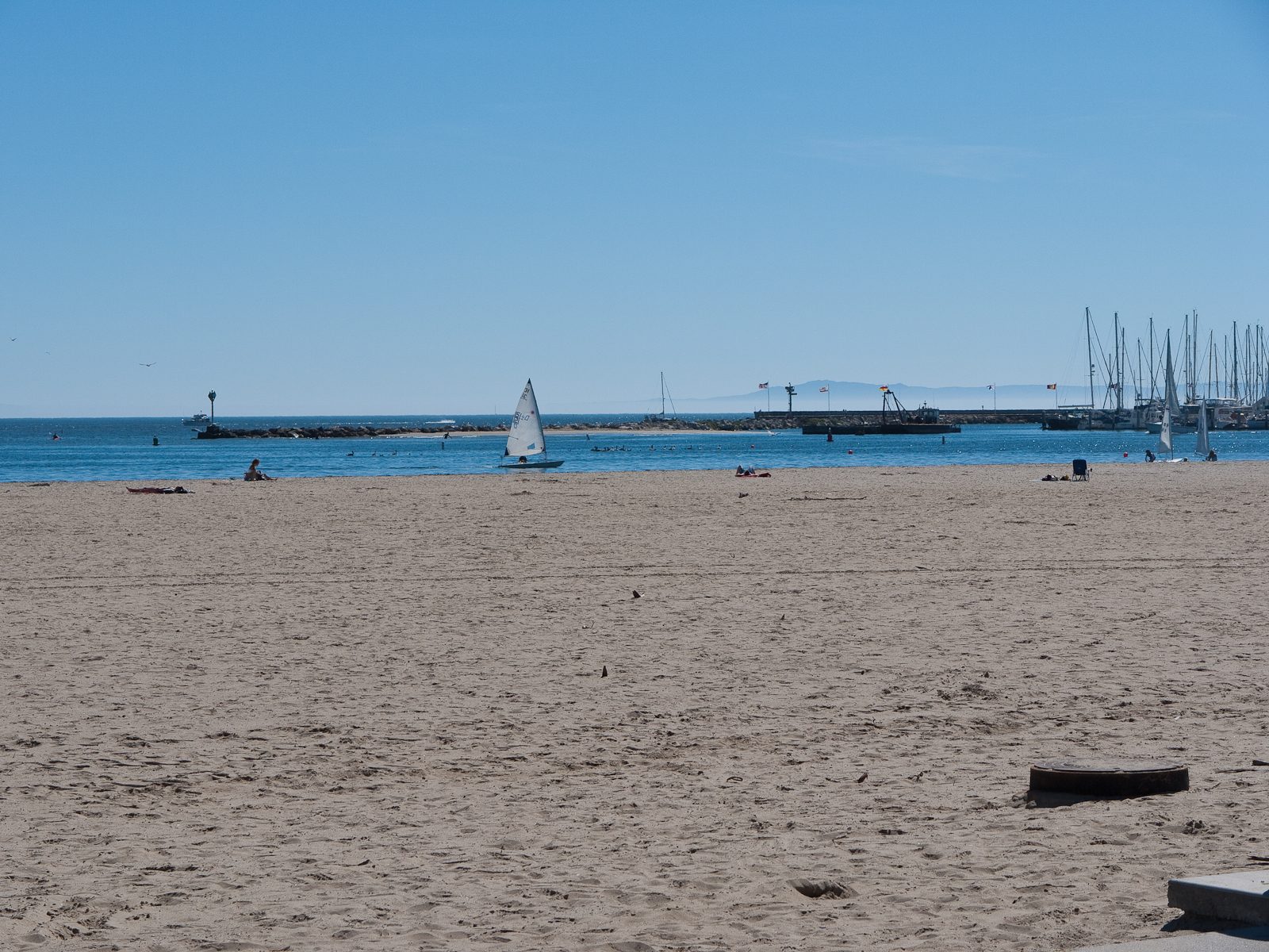
The first thing to learn is that the city is really a collection of small places. Downtown has the commercial core and the promenade on lower State Street. The Funk Zone holds the old warehouses by the waterfront. The Eastside runs along the Milpas corridor, the Westside toward the Mesa, the Riviera climbs the hill above downtown, and the waterfront runs along the city's ocean edge on a walking path. Our neighborhoods guide maps them all, with the caveat that locals draw their own boundaries.
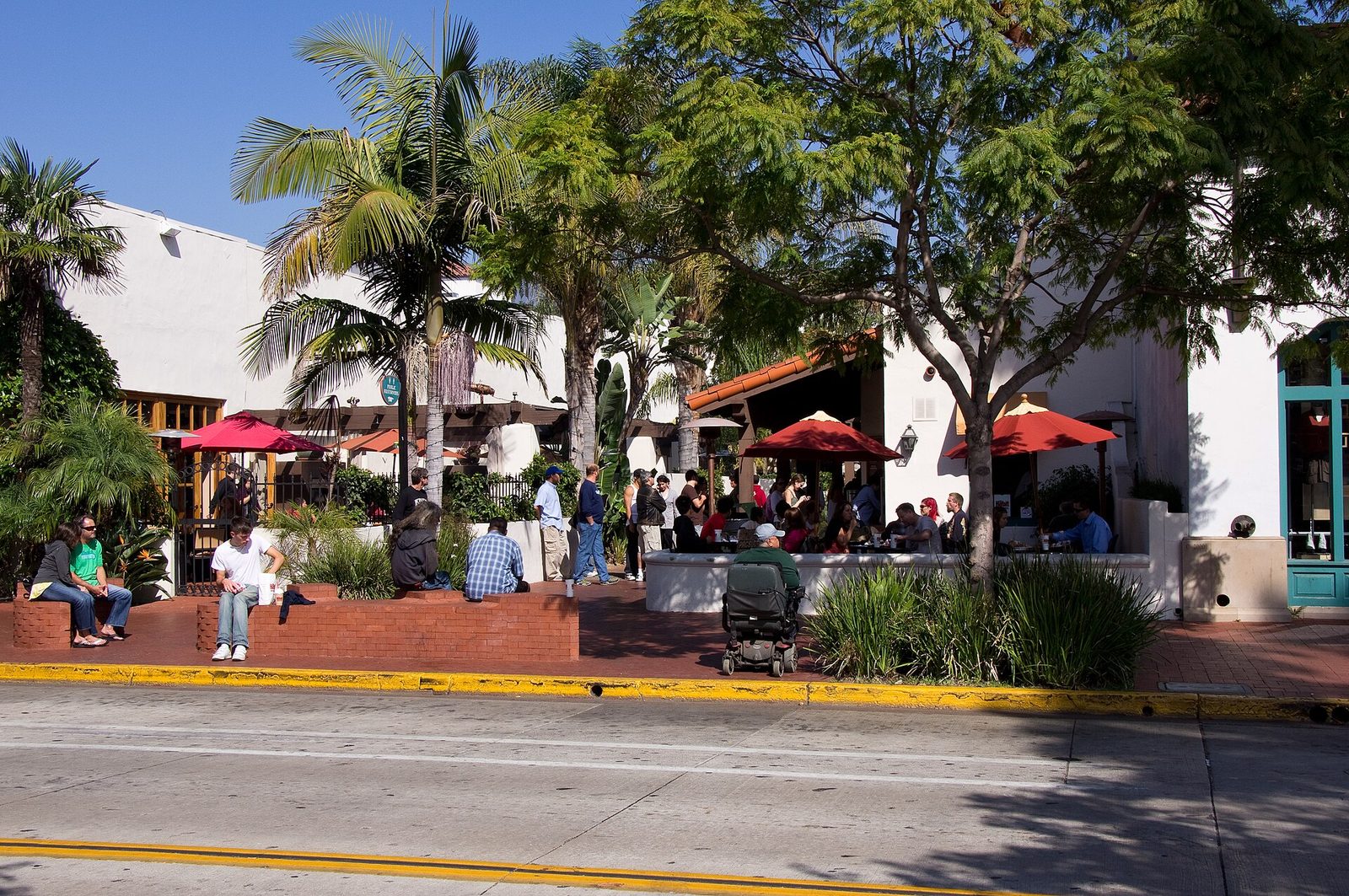
Getting around starts with the bus. The Santa Barbara Metropolitan Transit District runs bus service across the South Coast, serving Santa Barbara, Carpinteria, Goleta, Montecito, Summerland, Isla Vista and the eastern Goleta Valley, according to the California Energy Commission. Its routes, schedules and system map are posted at sbmtd.gov. Downtown itself is a walking town, and the waterfront path runs the length of the city along the ocean.
Civic life is easy to find once you know where to look. The City Council posts its meetings and agendas on the city's website, and the county Board of Supervisors posts county agendas and minutes in one place. Council and board meetings are public, and the agendas are the fastest way to learn what the city is arguing about.
Utilities are straightforward. The city's Public Works Water Resources Division runs the water service for residents inside the city limits, and the city's water page is the starting point for billing and quality reports. Trash and recycling are handled by MarBorg Industries, the city's contracted hauler. If you are new to California water politics, our guide to how water works here explains where every tap is fed from.
Schools follow the same pattern of knowing which government is which. The Santa Barbara Unified School District serves the city's public schools and posts board materials through its public document portal. Santa Barbara City College sits on a bluff on the Mesa overlooking the harbor and the Pacific. The University of California, Santa Barbara is just west of the city, its campus adjacent to the unincorporated community of Isla Vista and not part of the city at all.
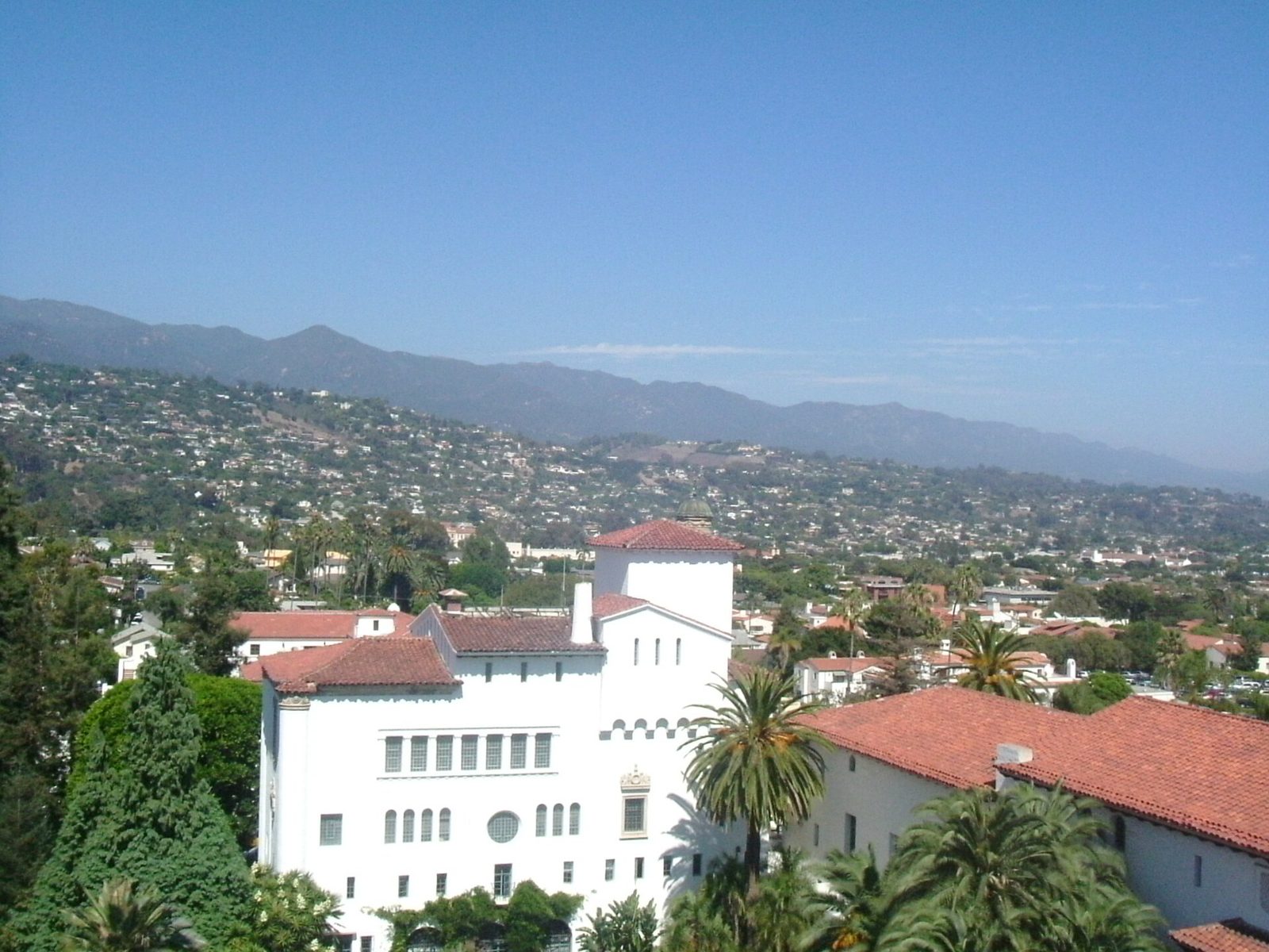
The rest is orientation by habit. State Street is the main commercial thoroughfare. The harbor is the working waterfront. The courthouse tower's El Mirador observation deck is open to the public with no admission fee. Give it a month and the map will feel obvious, which is exactly how locals like it.
None to date. The Tribune corrects errors promptly and transparently. Read our corrections policy.